
La Verne Neighbors Start with Blocks
A block lookup combines parcel geometry with records that carry different meanings. The Assessor map shows the land around an address. Parcel detail supplies AIN, situs, legal description, use, year-built facts, values, and events. City planning and zoning add land-use context. A permitted voter product can show registered-voter entries, while a reverse directory supplies a historical listed occupant. A public association page may show an officer or contact, but not a private membership roster.
| Source | What It Shows About a Block | Access |
|---|---|---|
| Assessor Map Search | Adjacent parcel shapes, AINs, and situs bridges | Free map browse |
| Assessor parcel detail | Use, legal description, values, building facts, event history | Free address or AIN search |
| County GIS layers | City line, zoning, district, and subdivision context | Free data portal and viewers |
| Voter street index | Registered-voter entries where a lawful product is released | Paid contract and permitted purpose |
| Reverse directory | Historical listed occupants by address | Library or digital collection |
| Public community source | Officer, boundary, event, or operator contact | Voluntary public layer |
This block-lookup coverage is deliberately narrower than a claim about everyone nearby. It shows which source can answer which question, and where the record stops.
Click Around a La Verne Neighbor Block
Open the target address in the Los Angeles County Assessor Portal, switch to Map Search, and zoom to the street segment. Click each contiguous or nearby parcel. Capture the AIN and situs, then open parcel detail separately. The basic interface has no verified public radius or buffer export, so a parcel-by-parcel worksheet is the safer method.
- Normalize the address and save the target AIN, situs, and legal description.
- Open Assessor Map Search and click the parcels that touch or face the target.
- Record each nearby AIN, use, year-built field, legal description, and event reference.
- Use county GIS to check the city line, zoning, district, and subdivision layer.
- Move to a restricted voter, historical directory, or city source only when its purpose fits.
The Los Angeles County Assessor Portal is the parcel starting point. The county GIS Data Portal adds map layers but does not create a resident roster.
For a whole named street rather than the immediate block, use the La Verne By Street workflow. Neighbors work stays within the small set of parcels around the starting address.
Build a La Verne Neighbor Block Worksheet
A worksheet prevents a neighbor lookup from becoming a pile of names. Use one row per parcel and one column per evidence type. Keep the legal description separate from the mailing address. Record the date of each search because assessment events, city files, and voter status can change.
| Address | USPS-formatted situs or public map label. |
|---|---|
| AIN | County parcel identifier used to reopen the detail page. |
| Land context | Use, parcel type, legal description, subdivision, and year-built field. |
| Event reference | Recording date, document number, type or reason, and assessment event. |
| People evidence | Only a source-specific name or listed occupant, labeled by its access rule. |
A homeowner-exemption flag may be consistent with a principal-residence claim, but it does not prove every occupant. A tax mailing address may be elsewhere. A permit applicant may be a contractor or project representative. Write what the source supports, then stop.
Separate La Verne Neighbor Owners and Occupants
Neighbors are often described too broadly. The Assessor parcel can show a property connection and an event trail. A deed shows title parties. A permit shows project involvement. A directory shows a listed subscriber or occupant. A voter entry, when lawfully released, shows a registered voter. These are useful clues, but none is a universal household roll.
For a current block, compare the situs, legal description, dates, and identifiers. For a historical block, compare the directory edition, street section, census date, and place name. If an address is part of a park or an institution, use the public operator or office contact rather than infer a resident from the facility record.
Same-name matches need an independent fact. A neighbor worksheet should never merge two people because they share a surname and postal city.
La Verne Voter Records and Street Index
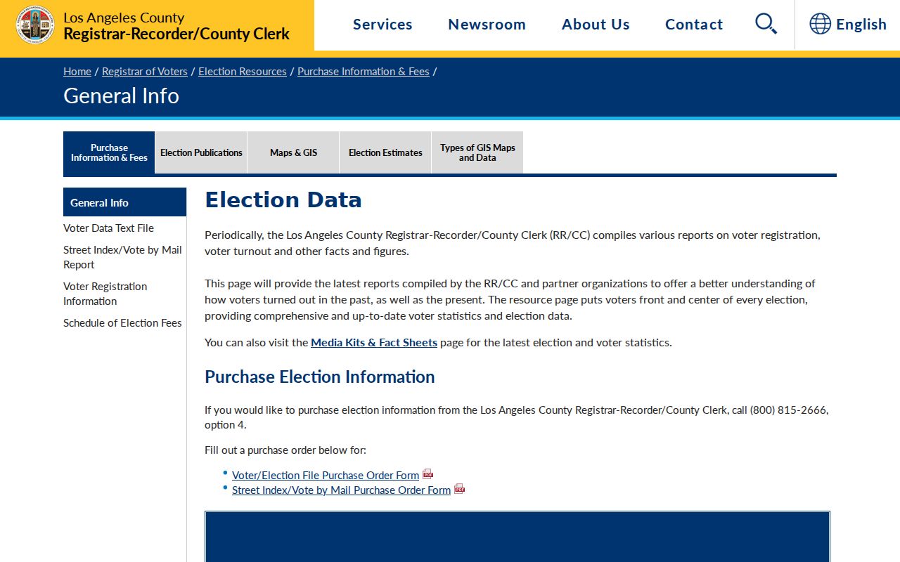
Los Angeles County voter files and the Index to Voter can support block research only within the permitted political, scholarly, journalistic, governmental, or election purpose in Elections Code section 2194. The county lists products for countywide, precinct, district, or city files, plus an address-oriented street index. A contract and product fee apply.
The captured county voter-file product page shows the restricted order route for a lawful La Verne neighbors study.
Do not republish personal rows or treat a contract as permission to build a commercial neighborhood directory. Confidential voters, Safe at Home participants, signatures, driver-license information, and Social Security data remain protected.
Participation history can indicate whether a person voted, never which ballot choice was made. The source is a narrow civic record, not a complete map of La Verne neighbors.
La Verne Neighbor Voter Status
California's My Voter Status and Los Angeles County's self-verification form are designed for an individual checking their own registration. The county form uses last name, birthdate, house number, and ZIP Code, then returns status or election information to the person who can complete the check. The county's voter-information request route explains the separate process for an authorized record request. It is not a public search for nearby neighbors.
The captured Los Angeles County voter-status form shows the identity-based route.
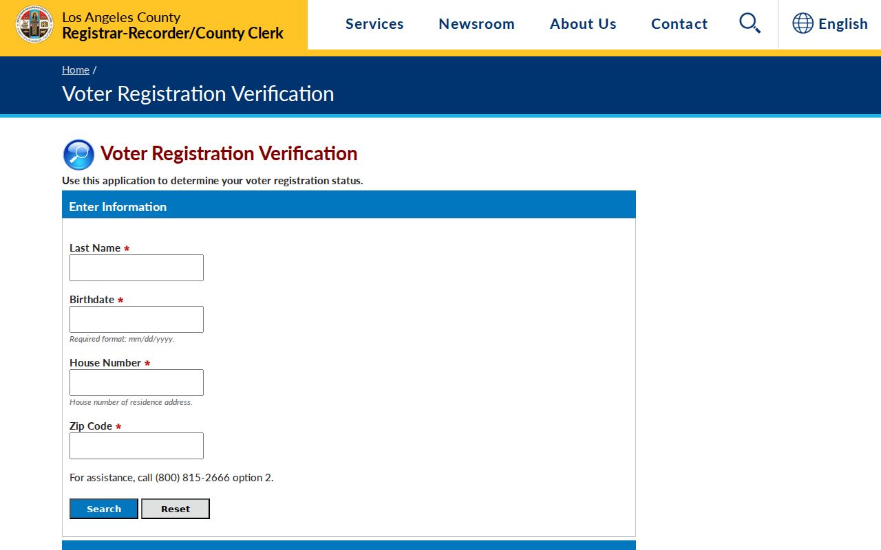
A self-status result can help a person confirm their own record. It cannot lawfully be converted into an address browse for a La Verne block.
La Verne Neighbor History in Reverse Directories
Historical city directories can show who was listed at an address in an earlier edition. Pomona Public Library has a verified 1896 to 1951 irregular set with Lordsburg and La Verne entries. Los Angeles Public Library has a selected regional 1875 to 1987 run. Search the place under both names, inspect the title page, and open the street-address section.
A criss-cross entry is a listed occupant or subscriber, not a full household. Pair it with the federal census through 1950, a deed, the La Verne Leader, or an archive item. The older block layer belongs to historical research, not a current neighbor roster.
The city directories page in the navigation explains publisher, year, OCR, and abbreviation details. This page uses only the address-to-block angle.
La Verne Neighbor Community Layers Are Voluntary
No official citywide La Verne neighborhood-association or HOA directory with public member rosters was verified. Public association pages may disclose an officer, boundary, event, or contact address. Membership information is voluntary and should not be scraped or treated as a government record.
| City meetings | Public agendas, minutes, districts, and project context. |
|---|---|
| Council districts | Five districts with an interactive public map. |
| Landscape and Lighting districts | Three development-linked maintenance districts. |
| Old Town | Public Business Improvement District board and contact layer. |
| Park directory | Eight local parks, unit totals, and operator contacts, not resident names. |
These layers help describe how a block is organized. They do not fill the private space between a public office contact and an individual neighbor.
The city's park directory gives a concrete example of a public community layer. It names Casitas La Verne on Bradford with 136 units, Copacabana on Arrow with 173, Foothill Terrace on Fruit with 376, Kings Way Gardens on Arrow with 176, La Verne Mobile Country Estates on Moreno with 187, The Fountains on Damien with 286, Twin Oaks on Bradford with 331, and Valley Rancho on Arrow with 77. Those entries identify an operator or place, not the people inside it.
The captured Los Angeles County registration-report page illustrates the kind of dated public civic context that can accompany a block study.
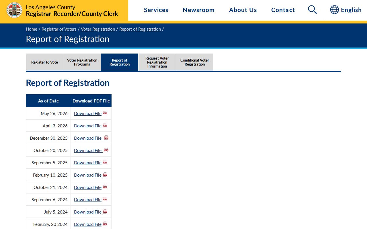
Use dated public reports for context, not as a substitute for person-level authorization.
Protected La Verne Neighbors Stay Off Map
California Safe at Home supplies a substitute mailing address and forwarding route for qualifying survivors, specified public personnel, reproductive-health workers, and certain household members. Confidential voters can use the program. The Secretary of State's governing-laws page identifies the California statutes behind the confidentiality route. Court-sealed, juvenile, adoption, and other protected records are also outside an ordinary neighbor lookup.
The legal description of a property can still reveal its location, so Safe at Home is not a promise that every property connection disappears. Conversely, a public parcel record does not authorize a researcher to infer the protected person's mailing address, phone number, or daily location.
The captured California Safe at Home page is the current state route for address-confidentiality rules.
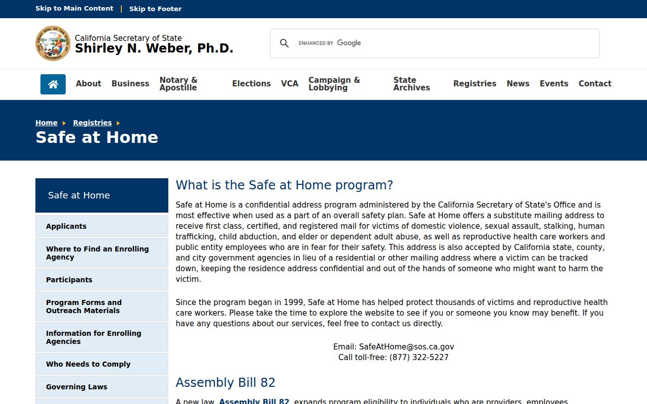
When a protected record is absent, stop the search and respect the custodian's boundary.
Privacy Limits on La Verne Neighbors
Commercial neighbor-lookup tools may combine stale directories, property data, court indexes, marketing data, and address histories. They can merge same-name people, miss protected households, and repeat an old address. Official sources have their own limits, but they identify a custodian, date, field, and access rule.
| Source Type | Official Roll or Record | Commercial Neighbor Tool |
|---|---|---|
| Parcel | AIN, situs, legal description, event history | May copy or summarize an older parcel record |
| Person | Source-specific registration, party, or directory entry | May merge similar names and dates |
| Privacy | Custodian rules, sealed records, Safe at Home boundaries | Coverage and removal practices vary |
Lawful use. A La Verne neighbor lookup is for personal safety awareness, civic curiosity, reconnecting, and getting to know a block. Do not use public information to stalk, harass, intimidate, threaten, or harm anyone.
When the question becomes a whole named street, use the By Street route. When it becomes one person, switch to Resident Lookup and verify the source-specific record.
Note: A block map can show parcels around an address without revealing every person who lives there.